As an Amazon Associate I earn from qualifying purchases.
Road trip routes in the USA span coastal highways, desert byways, mountain passes, and small-town backroads, making road trip routes in the USA perfect for planning a scenic vacation. USA road trip routes mix national parks, quirky roadside attractions, hotels, and diners for an authentic travel feeling.
Mapping road trip routes in the USA helps pick destinations, plan stops, and time the trip. American road trip routes invite exploration and relaxed driving.
California’s Pacific Coast Highway: Big Sur to Malibu

Photo by Aleksandr Galichkin on Unsplash
Drive the Pacific Coast Highway for cliffside views from Big Sur to Malibu, where Bixby Bridge and hidden coves frame the ocean. This California road route links rugged state parks, seaside motels, coastal restaurants, and pullouts for photo stops along winding lanes that hug the Pacific bluffs.
Plan for slower driving to enjoy viewpoints, sunrise beaches, and seafood towns; book a hotel in Monterey or Santa Barbara during busy months. Watch for fog near the headlands, check road closures in winter, and allow time for detours to Pfeiffer Beach and Garrapata State Park.
• • •
Route 66: Chicago to Santa Monica road classic
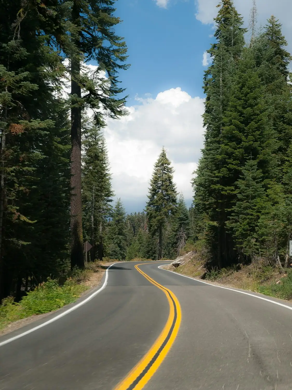
Photo by William Warby on Unsplash
Route 66 runs from Chicago to Santa Monica through Midwest plains, desert towns, and neon-lined main streets. Expect vintage motels, diners with jukeboxes, historic gas stations, and kitschy museums that celebrate mid-century travel culture along the numbered highway. Small towns keep old signage and roadside artwork intact.
Break the drive into manageable legs with overnight stays in Springfield, Tulsa, and Amarillo. Look for restored murals, tribal art, and leftover neon signs; local museums and Route 66 associations offer maps and suggested driving segments for each state portion.
• • •
Blue Ridge Parkway: Fall colors and mountain music
Photo by Morten Andreassen on Unsplash
The Blue Ridge Parkway winds through the Appalachian Highlands with overlooks, hiking trails, and music towns like Asheville and Roanoke. Rolling ridgelines, craft shops, and roadside picnic spots make this drive ideal for quieter scenic travel and seasonal leaf color viewing along well-maintained lanes that connect to national forests.
Travel in shoulder seasons for cooler weather and fewer crowds; plan stops at visitor centers for ranger-led talks and local music listings. Pack layers for changing elevations and consider overnight stays in valley inns or cabin rentals near Pisgah or Great Smoky viewing points.
• • •
Download printable itineraries, packing lists, and travel guides with high-resolution maps sent to your email immediately for your next trip.

One printable guide · $19.99 · yours forever
Florida Keys Overseas Highway — Seven Mile Bridge
Photo by Victor Devos on Unsplash
The Overseas Highway threads islands from Key Largo down to Key West, with the Seven Mile Bridge offering dramatic ocean panoramas and turquoise waters. Coral cay scenery, fishing villages, and beachfront bars create a varied driving rhythm from mainland highways to low-slung island causeways and palm-fringed stops.
Expect slower speed limits and frequent tourist stops; reserve lodging in Marathon or Key West well ahead. Check tide and weather forecasts for seasonal storms, and plan gas stops since fuel and services thin out between settlements on long stretches.
• • •
Glacier’s Going-to-the-Sun Road: alpine pass driving
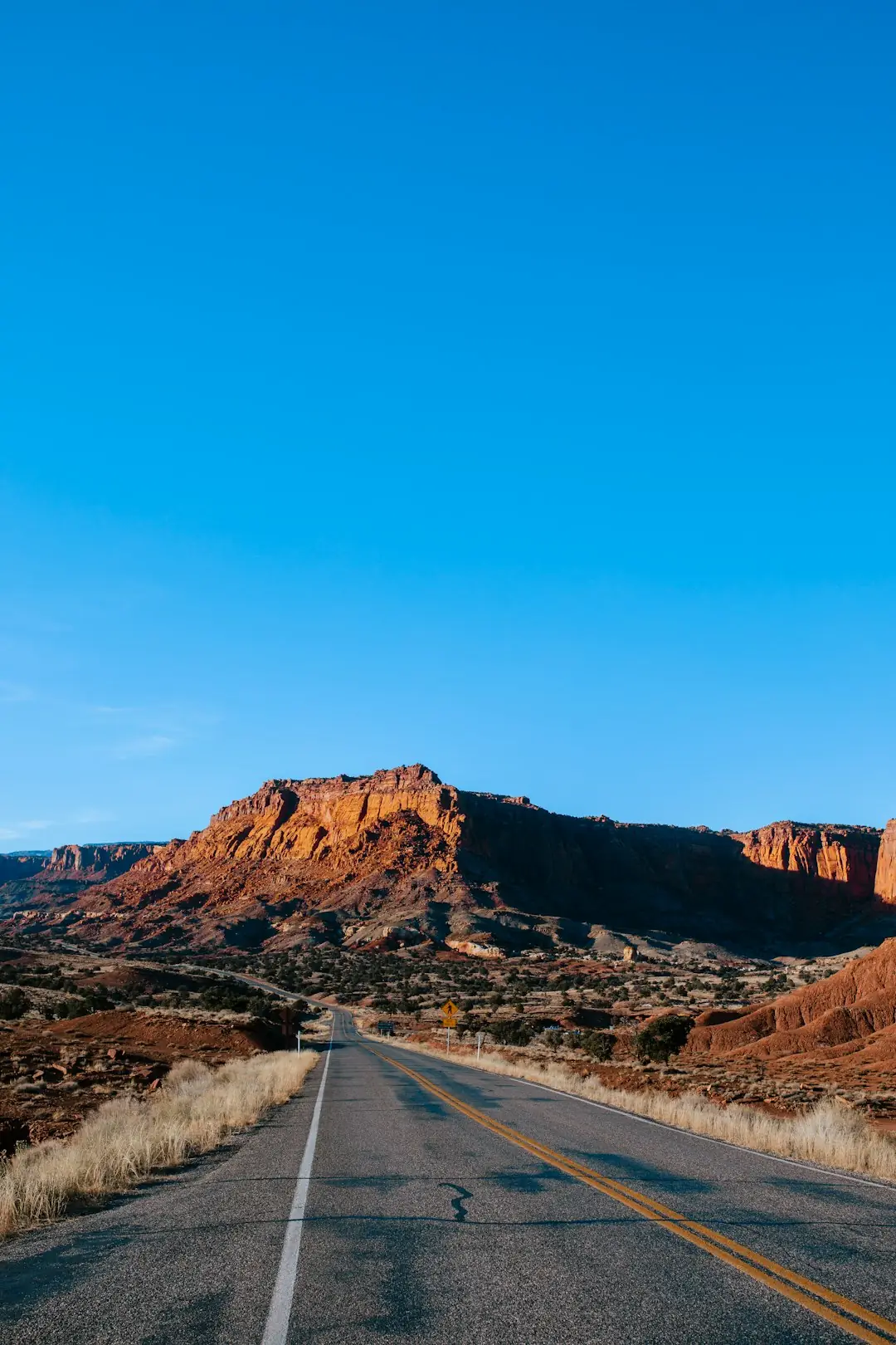
Photo by Lisha Riabinina on Unsplash
Going-to-the-Sun Road crosses Glacier National Park with steep switchbacks, alpine meadows, and views of glacial cirques and turquoise lakes. This narrow high-country route connects valley communities and trailheads, with pullouts for photos of jagged peaks and wildlife sightings along carved rock walls and hairpin turns.
Seasonal openings depend on snow, so check park alerts before traveling and reserve timed entry if required. Drive early to beat shuttle crowds, bring cold-weather gear even in summer, and stop at Logan Pass for short hikes and panoramic overlooks.
• • •
Alaska Highway (Alcan): remote northern frontier driving
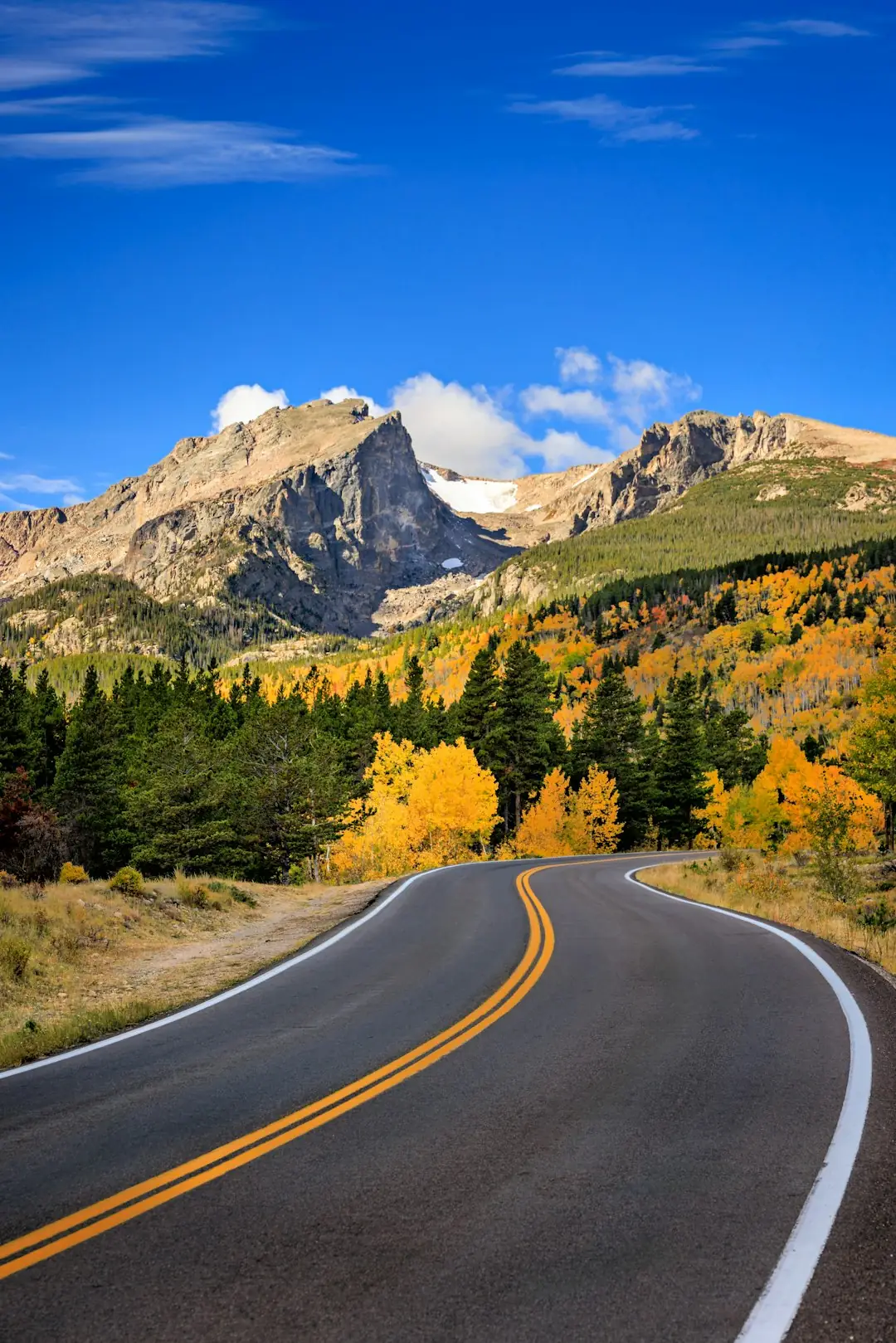
Photo by Sonja Wilkinson on Unsplash
The Alaska Highway crosses Yukon and Alaska with long stretches of boreal forest, mountain vistas, and distant horizons. Services are spaced far apart, offering rustic lodges, roadside cabins, and river crossings that feel remote. Wildlife sightings are common and scenic rest stops mark historic construction sites.
Prepare for long distances between fuel stations and carry spare supplies; check weather and seasonal road reports before departure. Plan overnight stops in Whitehorse or Tok, and allow extra travel time for gravel sections and wildlife-related slowdowns along the route.
• • •
Million Dollar Highway: Colorado’s high-altitude twist
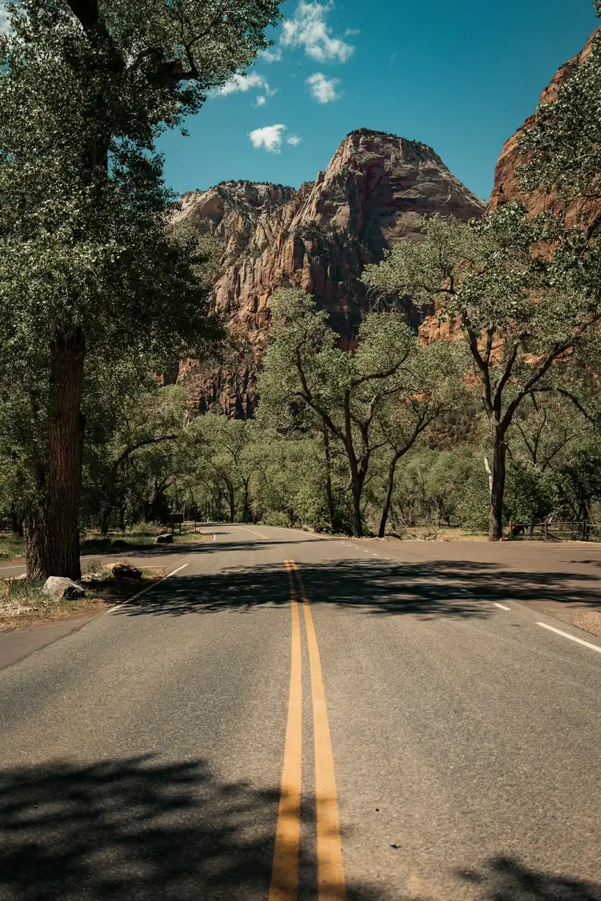
Photo by Mario Scheibl on Unsplash
The Million Dollar Highway on US 550 climbs through the San Juan Mountains with steep ledges, narrow shoulders, and panoramic alpine views near Silverton and Ouray. Historic mining towns sit below towering peaks and high passes, offering hot springs, taverns, and mountaintop pullouts for crisp panorama photographs.
Check weather for snow or rockfall advisories, and use lower gears on steep descents. Summer driving delivers wildflower meadows while shoulder seasons require caution; park in town centers to explore historic districts and local museums before continuing twists and turns.
• • •
Utah Scenic Byway 12: red rock and hoodoos route
Photo by Romain Virtuel on Unsplash
Scenic Byway 12 threads between Bryce Canyon and Capitol Reef with red-rock canyons, hoodoos, and narrow cliffs that feel cinematic. Small towns like Torrey provide base camps, while overlooks and short trails reward stop-and-go exploration. The road traverses high plateaus and desert valleys colored by layered sandstone.
Watch for steep grades and occasional single-lane bridges; plan gas and meals in small towns. Night skies are dark for stargazing, so book lodging early in summer and allow time for side hikes into slot canyons and viewpoint loops.
• • •
Kancamagus Highway — New Hampshire leaf peeping route

Photo by Tobias Reich on Unsplash
The Kancamagus Highway crosses the White Mountain National Forest with rivers, lookouts, and classic New England foliage in autumn. Picnic areas, covered bridges, and trailheads punctuate the two-lane state route as it follows the Swift River, offering waterfall stops and scenic overlooks within easy reach of Lincoln and Conway.
Plan drives for foliage timing in early fall and arrive early for limited parking at popular pullouts. Consider staying in nearby inns for multiple scenic loops, and pack sturdy shoes for waterfall and forest walks along marked trails.
• • •
Natchez Trace Parkway: Southern backroad through history
Photo by Annie Spratt on Unsplash
The Natchez Trace Parkway spans Mississippi, Alabama, and Tennessee with gentle curves, historic sites, and roadside markers that recall centuries of travel. Low-speed limits and picnic areas create a relaxed driving rhythm between Natchez and Nashville, with forested scenery, visitor centers, and interpretive stops along the way.
Overnight in historic towns like Natchez for antebellum architecture and local eateries. Note that commercial traffic is restricted; plan for scenic detours to small museums, battlefield sites, and river overlooks while keeping to posted speed limits.
• • •
Beartooth Highway: Glacier views and alpine switchbacks
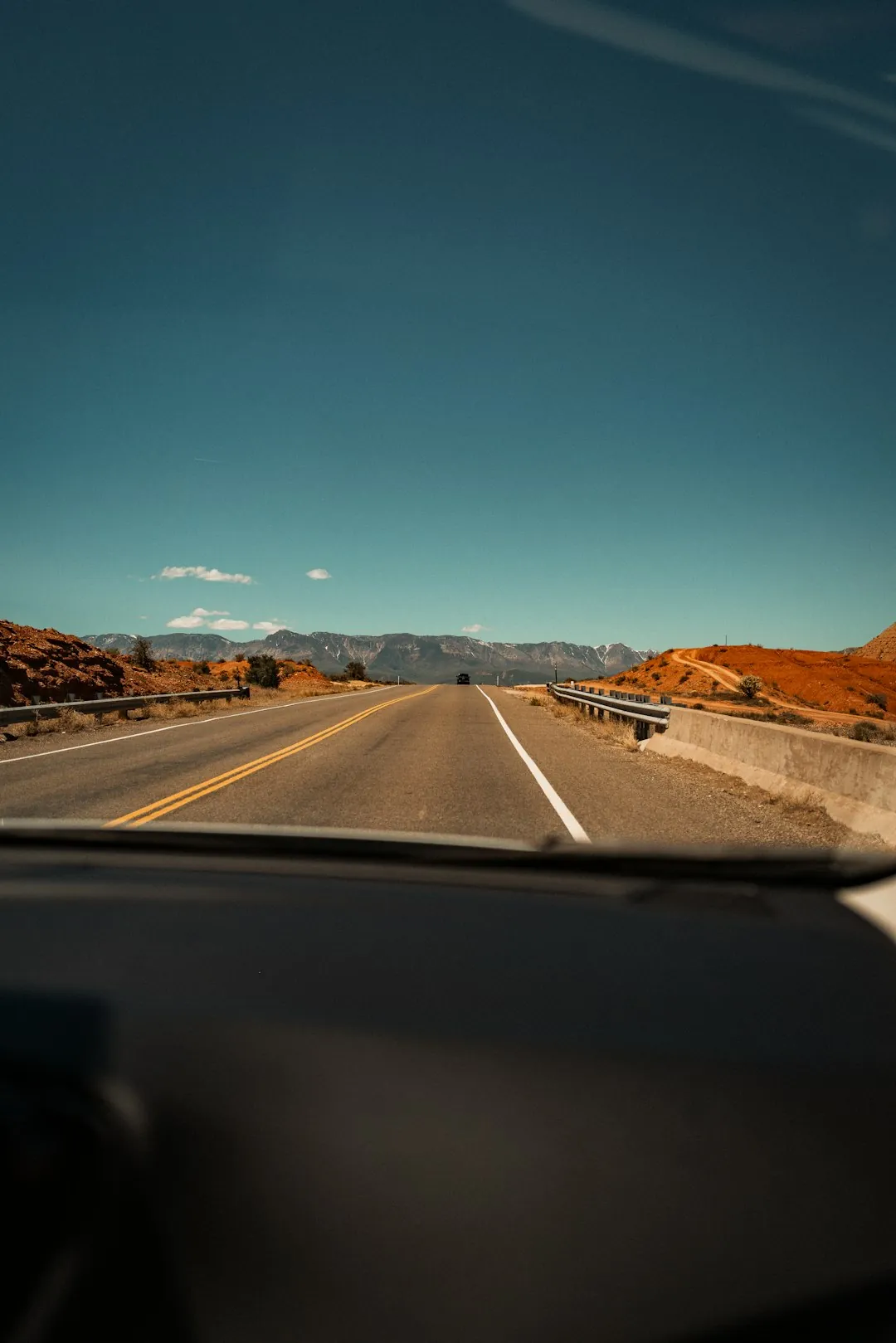
Photo by Mario Scheibl on Unsplash
Beartooth Highway climbs to high alpine plateaus with jagged peaks, glacial lakes, and sweeping switchbacks near the Wyoming-Montana border. The road links Red Lodge to the northeast entrance of Yellowstone, offering close-up mountain scenery, tundra landscapes, and summer wildflowers along high passes.
Seasonal snow can close sections until summer; check opening dates and carry warm layers even in July. Pack a map for limited cell coverage, stop for short hikes to lakeshores, and plan overnight stays in Red Lodge or nearby gateway towns.
• • •
Columbia River Gorge: waterfalls and gorge overlooks
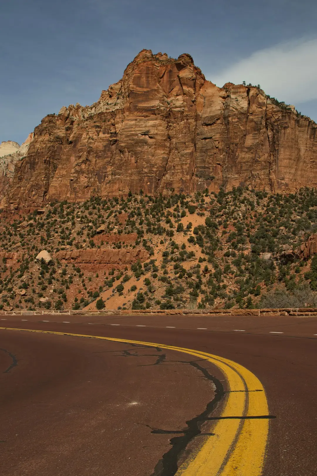
Photo by Braden Egli on Unsplash
The Columbia River Gorge Historic Highway follows cliffs and waterfalls east of Portland with plunging cascades like Multnomah Falls, basalt cliffs, and river vistas. Historic scenic turnouts, gardened viewpoints, and short waterfalls hikes make this drive rich with accessible outdoor stops and riverfront picnic spots.
Park at official trailheads to avoid fines and arrive early for popular waterfall hikes. Combine the drive with winery or brewery stops in nearby towns, and be prepared for wet hiking conditions on shaded canyon trails.
• • •
Maine Coast Route 1: lighthouses and ocean drives
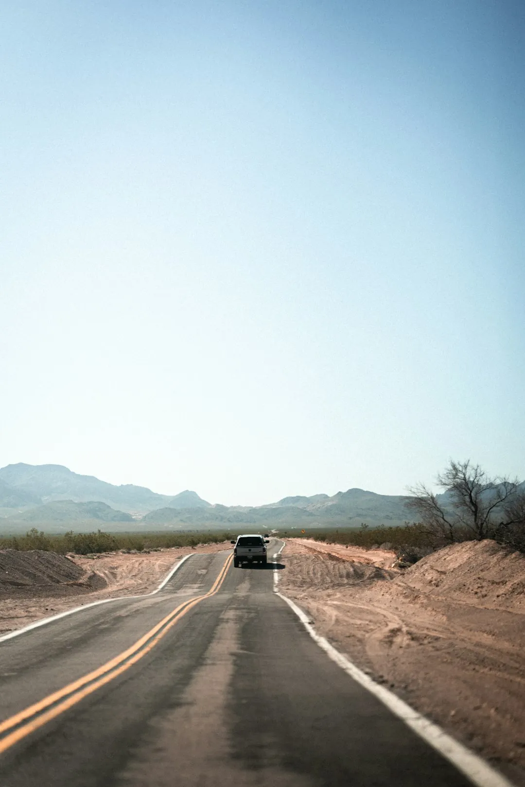
Photo by Tobias Pfeifer on Unsplash
Maine’s Route 1 traces rugged coastline, lobster shacks, and iconic lighthouses from Portland up toward Acadia National Park. Quaint fishing harbors, rocky headlands, and seaside inns line the road, with coastal drives that pause for tidal views, boat harbors, and seafood-focused restaurants in small towns.
Stop for lighthouse tours and harbor walks, and time visits for low tide beach access or sunset views. Book summer lodging early and allow extra time for slow-moving traffic through popular coastal villages and state park entrances.
• • •
Great River Road along the Mississippi River
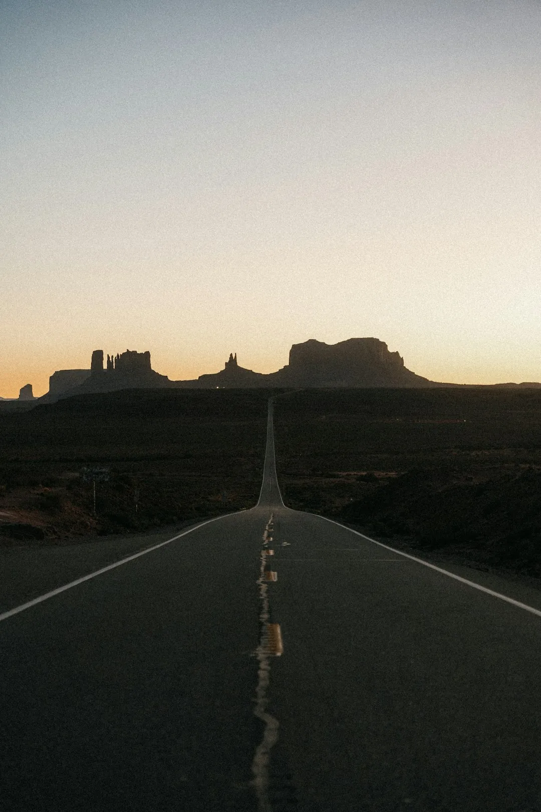
Photo by Roberto Shumski on Unsplash
The Great River Road follows the Mississippi with river towns, levees, and historic riverfront districts from Minnesota to Louisiana. Steamboat ports, blues clubs, and small museums mark cultural waypoints, while scenic overlooks and ferry crossings add variety to the steady river-side driving experience.
Plan stops in river cities like St. Louis, Memphis, and New Orleans for music, food, and museums. Map ferry schedules and check seasonal river levels that can affect access to certain towns and low-lying parks along the way.
• • •
US-50 Nevada: US 50 ‘The Loneliest Road’ desert drive
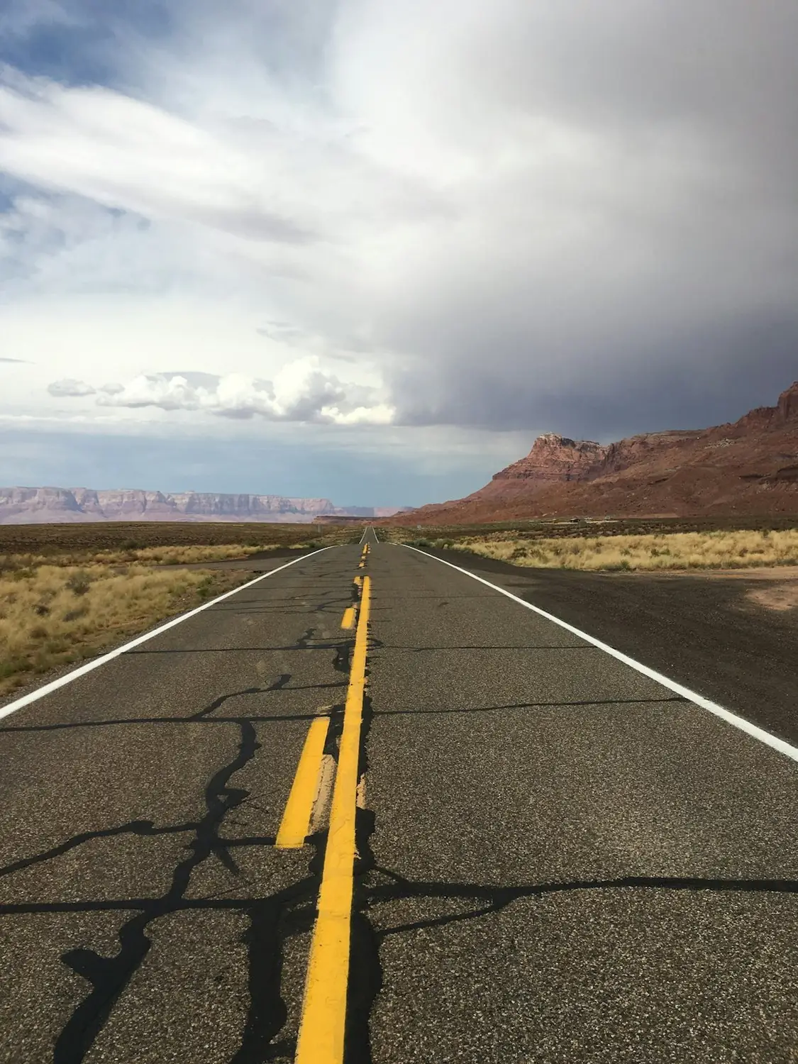
Photo by Marije Woudsma on Unsplash
US-50 through Nevada earns the nickname ‘The Loneliest Road’ with wide-open desert, distant mountain ranges, and sparse services between towns like Ely and Austin. Historic mining sites, basalt badlands, and roadside motels give this stretch a frontier feeling with long daylight driving and big western skies.
Carry extra fuel, water, and emergency supplies for long stretches without services; cell coverage can be intermittent. Time the drive for milder temperatures in spring or fall, and stop in small towns for museums, hot springs, and locally run cafes.